NORTH TENMILE CREEK TRAIL
Trail name: North Tenmile Creek
Trail length: 6.5 miles, round trip
Trail difficulty: Moderate
Elevation gain: 1,668 ft.
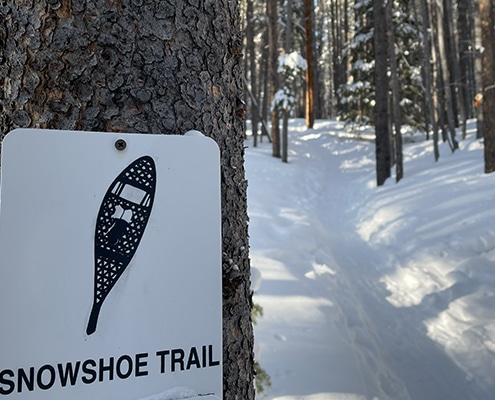
Best time to hike: November to May for snowshoeing/cross-country skiing, June to October for hiking
Good for: Hikers of all skill levels
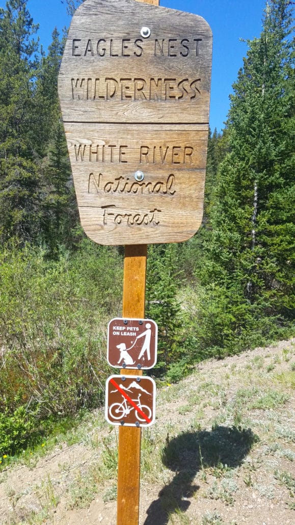
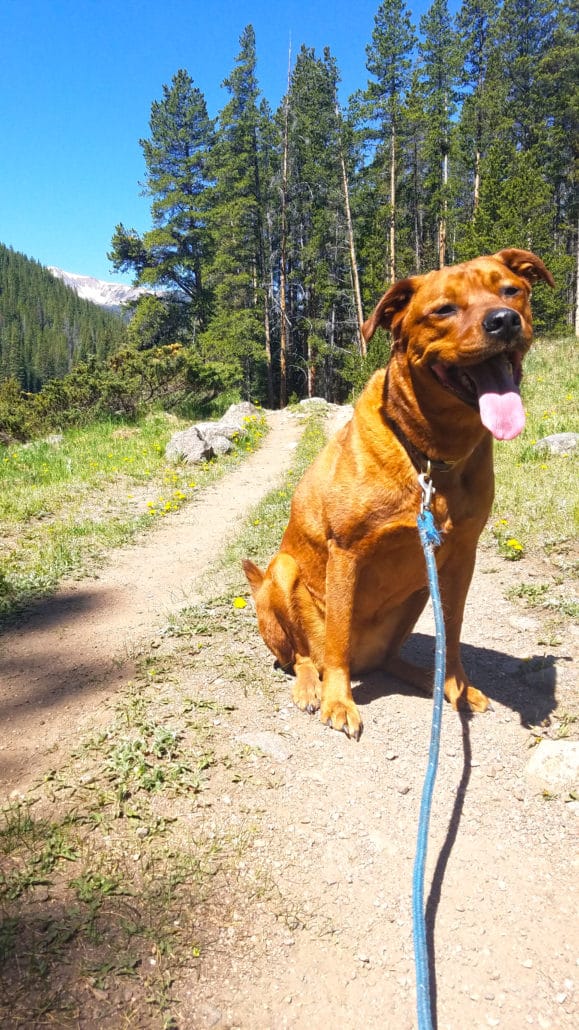
Dog friendly: Yes, but must be on leash
Starting trailhead: North Tenmile Creek Trailhead
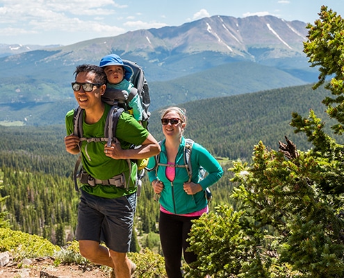
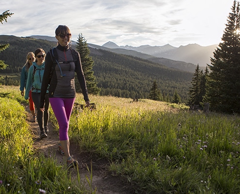
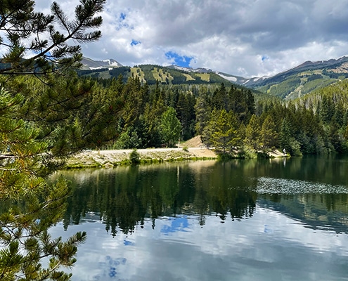
Visiting the mountains or have family and friends in town? Looking to enjoy the beautiful outdoors and scenic views that Colorado has to offer? North Tenmile Creek is the perfect hike to start your adventures. This 6.5-mile round-trip hike with an elevation gain of almost 1,700 ft is the perfect entry-level route for hikers of any skill level.
To get to this beautiful scenic hike, take Exit 201 (Frisco Main Street) from I-70. Turn right (west) and park in the dirt parking lot, just north of the interstate interchange. From Breckenridge, get onto North CO-9 and follow that for about nine miles. Make a left onto Main Street and follow this for about one mile and cross under the I-70 bridge, right where the dirt parking lot is located. Summit County also provides the Free Ride public bus service that you can take to Main Street Frisco and walk about a mile to get to the trailhead, as well. It’s recommended to carpool or take the free bus service, as parking is limited (especially on busy weekends).
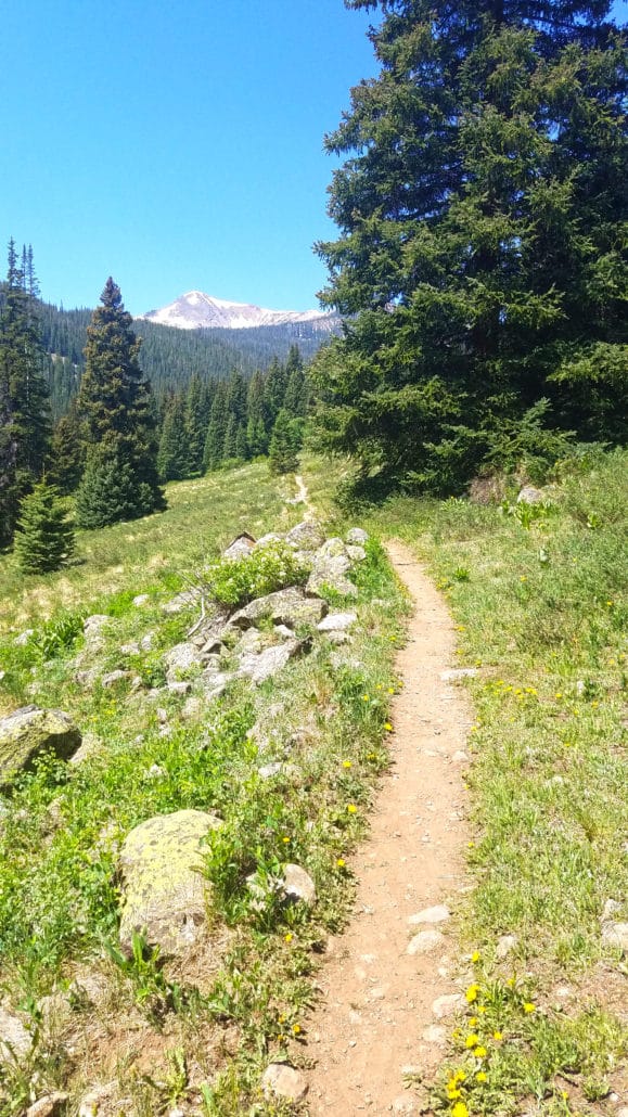
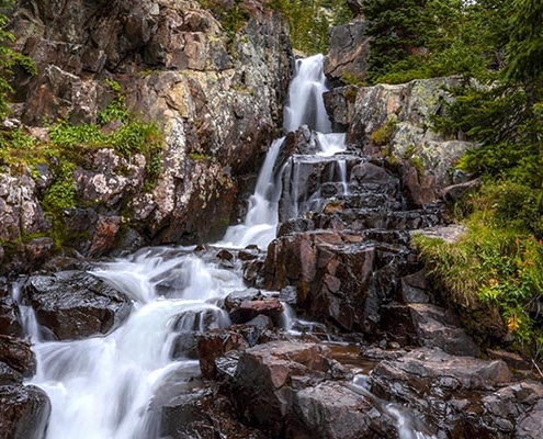
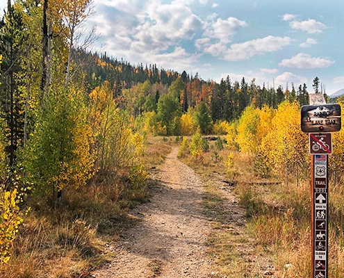
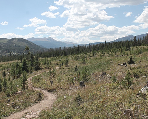
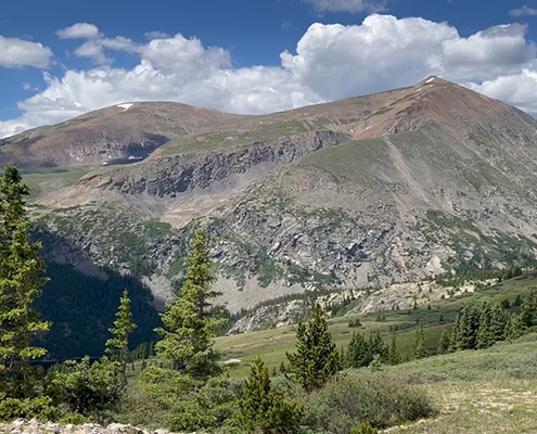
Make sure to wear your hiking boots as you cross creeks and streams as well as an initial steep grade that levels out after about one mile. At the beginning of the trail you will see Chief Mountain, elevation 11,363 ft., and Wichita Mountain, elevation 10,855 ft. Don’t be discouraged when you come across many forks in the road; every trail is interconnected, so you can’t pick a wrong way to go. Along the trail you will also see many small side trails that will lead you closer to the creek. These are great spots to see beaver ponds, and if you are lucky you might even see a beaver! After two miles there will be a portal sign saying you are entering the Eagles Nest Wilderness Area. This is a great spot to have a snack or set up a hammock.
After hiking another 1.4 miles you will come to the intersection of the Gore Range Trail, which is the ending point of the North Tenmile Creek Trail. Turning right (north) will eventually take you into Meadow Creek and turning left (south) will eventually take you up and over Uneva Pass to I-70 and Copper Mountain Resort. From this point you can turn around and hike back down the trail. If you aren’t quite ready for your time in nature to come to an end, take the Gore Range Trail towards Copper Mountain to set up your hammocks under a shaded tree and soak in those mountain views.
Want to help contribute to our National Forest? Visit FDRD.org/calendar for a list of all volunteer opportunities. You can also visit www.dillonrangerdistrict.com to download free individual guides for all the trails.

